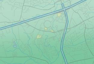
All our mapping and GIS Technicians are qualified with a Masters in GIS and chartered through the Royal Geographic Society.
We have developed a web-based system which ensures our clients can obtain information at any time giving them an interactive mapping tool bespoke to them. This online system gives clients the opportunity to apply online for the production of any plan to scale, which will be delivered within 48 hours.
Clients can also apply for a utility search, which will be costed within a matter of minutes, with the results delivered within 12 working days. The speed at which FGP produces accurate and fit-for-purpose maps and plans is unrivalled in the UK.
The maps created are a high level and detailed cartographic design, produced to assist and support the surveying and project management team.
Our services include:
- Production of maps and plans for all aspects of a project
- Completion of plans to include in option agreements and consent documentation
- Overlaying of land registry titles
- Production of MetaData, Shapefiles and CAD drawings in compliance with EU MetaData directives
- Production of Land Plans, Crown and Special Category Land Plans and Work Plans
- Utility searches
Coming Soon - Interactive Mapping for the production of maps and plans and utility searches.


